


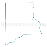
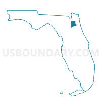
601A-Voting District, Clay County, Florida
About
Outline

Summary
| Unique Area Identifier | 552467 |
| Name | 601A-Voting District |
| County | Clay County |
| State | Florida |
| Area (square miles) | 0.08 |
| Land Area (square miles) | 0.08 |
| Water Area (square miles) | 0.00 |
| % of Land Area | 98.51 |
| % of Water Area | 1.49 |
| Latitude of the Internal Point | 30.00315350 |
| Longtitude of the Internal Point | -81.69571570 |
Maps

Graphs
Select a template below for downloading or customizing gragh for 601A-Voting District, Clay County, Florida


Neighbors
Neighoring Voting District (by Name) Neighboring Voting District on the Map
- 604A-Voting District (Green Cove Springs Municipal), Clay County, FL
- 604GCS-Voting District (Green Cove Springs Municipal), Clay County, FL